
Castleton - Mam Tor loop on bridleways
Located in United Kingdom
This is a short but very hilly clockwise loop from Castleton in the Peak District. Low gears are essential, just for getting out of Castleton!
19km long 727 metres of climbing 1hrs42 at 11.1kmh-
Good views here! This is a viewpoint
-
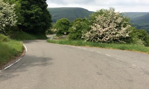
Looking down the Mam Tor road
-
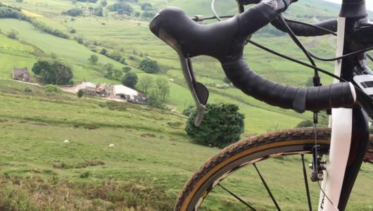
Climbing out of Castleton 1 km from start 260m above sea level 0hrs03 at 7.6kmh Looking north
-
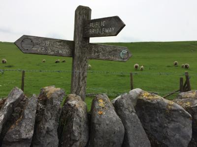
Signpost on the bridleway This is a viewpoint 3 km from start 426m above sea level 0hrs22 at 8.3kmh Looking east
-
Peaks bridleways This is a viewpoint 10 km from start 466m above sea level 0hrs57 at 10.6kmh Looking south-west
-
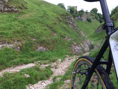
Rocky descent 11 km from start 444m above sea level 1hrs01 at 10.9kmh Looking north-east
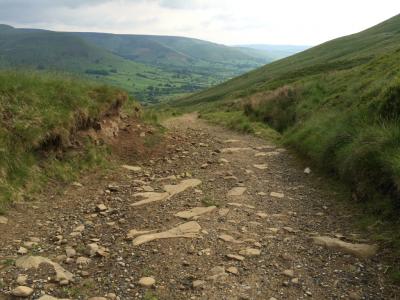
-
Steep descent here This is a descent (take care) 11 km from start 331m above sea level 1hrs01 at 10.9kmh
-
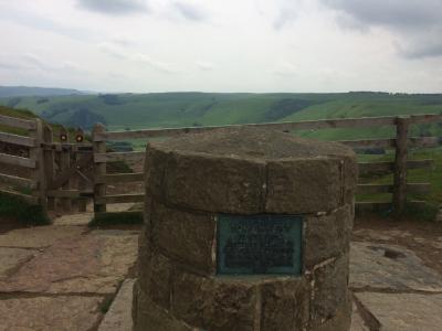
Trig point This is a viewpoint 17 km from start 360m above sea level 1hrs33 at 10.6kmh Looking north
-
Rocky descent This is a descent (take care) 17 km from start 382m above sea level 1hrs34 at 10.8kmh
-
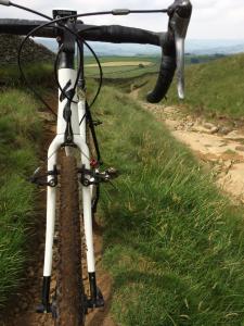
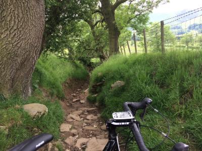
Narrow, rocky path 18 km from start 284m above sea level 1hrs36 at 10.9kmh Looking south-east
Download: Route card
Packages:
