
Mallorca: 127 miles clockwise from Palma, including Andratx and Sóller
Located in Spain
Surface type: 100% road
Traffic levels: 100% Quiet roads
205km long 3214 metres of climbing 15hrs26 at 13.2kmh-
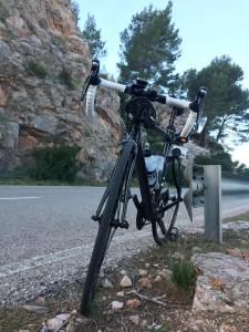
Coll de Soller This is a start of climb
-
Coll de sa Creu This is a start of climb 5 km from start 324m above sea level 0hrs29 at 9.8kmh
-
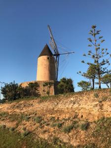
Old windmill at Galatzo 25 km from start 18m above sea level 1hrs57 at 12.9kmh Looking south-west
-
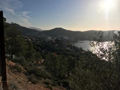
View over Peguerra This is a viewpoint 36 km from start 76m above sea level 2hrs47 at 13.0kmh Looking east
-
Andratx This is a town/village 47 km from start 253m above sea level 3hrs41 at 12.7kmh

-
Great view of the Mediterranean This is a viewpoint 60 km from start 75m above sea level 4hrs42 at 12.7kmh Looking north
-
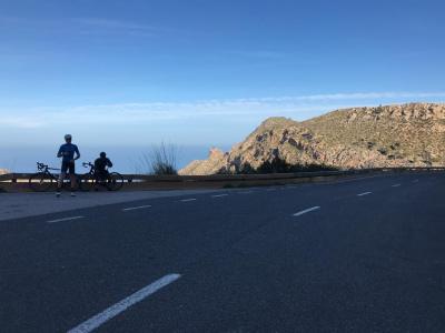
On the north coast This is a viewpoint 61 km from start 278m above sea level 4hrs49 at 12.7kmh Looking west
-
Banyalbufar This is a town/village 72 km from start 270m above sea level 5hrs40 at 12.6kmh
-
Coll den Claret This is a start of climb 72 km from start 278m above sea level 5hrs43 at 12.6kmh
-
Coll de Soller This is a start of climb 106 km from start 275m above sea level 8hrs24 at 12.6kmh
-
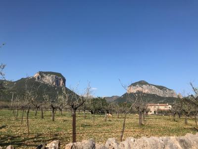
Alaro This is a town/village 138 km from start 226m above sea level 10hrs47 at 12.8kmh
-
Heading out of Alaro This is a viewpoint 139 km from start 202m above sea level 10hrs52 at 12.8kmh Looking north
-
Sineu This is a town/village 163 km from start 134m above sea level 12hrs32 at 13.0kmh
-
Long, straight "roads" 177 km from start 125m above sea level 13hrs33 at 13.1kmh Looking north-east
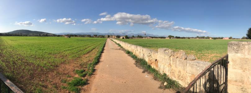
-
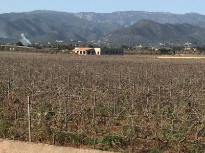
Mountains in the distance This is a viewpoint 183 km from start 116m above sea level 14hrs00 at 13.1kmh Looking north
Download: Route card
Packages:
