
Up Whernside, from Chapel-le-Dale
Located in United Kingdom
The ascent of Whernside up the south-side path is super-steep, at over 40% in places! Expect some pushing and carrying. At the summit, you should expect lots of admiration from walkers wondering what a bike is doing up there.
Surface type: 43% mud / grass 31% road 26% gravel / back lanes
Traffic levels: 100% Quiet roads
41km long 1085 metres of climbing 4hrs25 at 9.3kmh-
Steps galore! 6 km from start 340m above sea level 0hrs37 at 9.2kmh Looking north-east
-
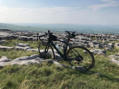
Limestone pavement This is a viewpoint 6 km from start 361m above sea level 0hrs42 at 9.0kmh Looking south
-
Still in the valley 11 km from start 340m above sea level 1hrs07 at 9.8kmh Looking north
-
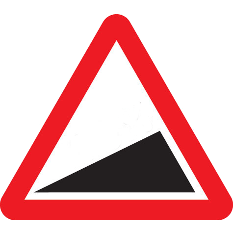
Steep climbing ahead! This is a start of climb 12 km from start 399m above sea level 1hrs16 at 9.4kmh
-
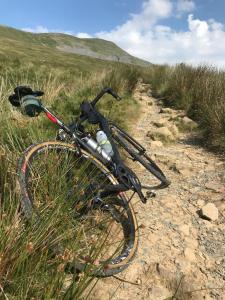
Not much is rideable here 13 km from start 394m above sea level 1hrs19 at 9.5kmh Looking north
-
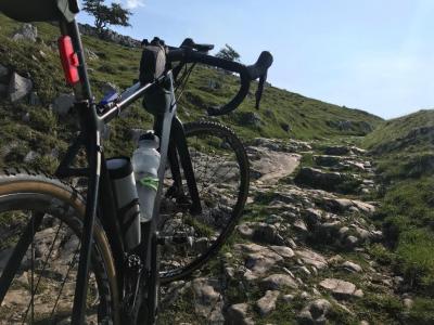
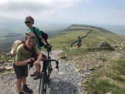
Almost at the summit! This is a viewpoint 13 km from start 616m above sea level 1hrs28 at 8.9kmh Looking south-west
-
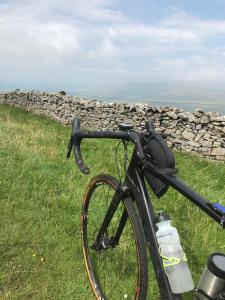
Lots of route options 17 km from start 465m above sea level 2hrs01 at 8.6kmh Looking west

-
It's all downhill from here This is a descent (take care) 21 km from start 479m above sea level 2hrs21 at 8.7kmh Looking north-west
-
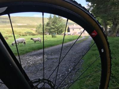
Ribblehead This is an amenity 39 km from start 290m above sea level 4hrs10 at 9.3kmh

-
Ribblehead Viaduct This is a viewpoint 39 km from start 290m above sea level 4hrs10 at 9.3kmh

Download: Route card
Packages:
